






El Niño could be strongest in living memory, put 2027 on track as hottest year

4 min readAug 22, 2026 01:09 PM IST
The El Niño weather phenomenon developing over the Pacific could become the strongest in living memory, with the United Kingdom Met Office warning that its impact, combined with human-driven climate change, is likely to make 2027 the hottest year ever recorded.
The phenomenon is already influencing weather patterns around the world. India’s southwest monsoon has recorded below-average rainfall, while hurricane activity in the Atlantic has been subdued. The phenomenon could also bring a wetter and stormier autumn to the UK and parts of north-west Europe.
“We should be clear that this is an unprecedented event,” Prof Adam Scaife, head of long-range forecasting at the Met Office, told the BBC. “I have never seen an El Niño signal this intense in our forecasts.”
El Niño occurs when the trade winds over the Pacific weaken or reverse, allowing unusually warm water to move eastwards. The resulting release of heat from the ocean into the atmosphere can raise global temperatures and alter rainfall and wind patterns across continents.
Sea surface temperatures in a key region of the Pacific are currently more than 2°C above average. Met Office forecasts suggest they could rise beyond 3°C as the event reaches its peak later this year — a level not seen in records dating back to 1950.
Unusually warm water deep beneath the Pacific could further strengthen the event. Temperatures at depths of around 100 metres are already about 8°C above normal in some areas, providing a large reservoir of heat that could fuel El Niño in the months ahead.
How does this affect global weather?
In South Asia, El Niño years are often associated with weaker monsoon rainfall. The 2026 monsoon is already running below normal, although El Niño is only one of several factors that influence India’s rainfall.
Story continues below this ad
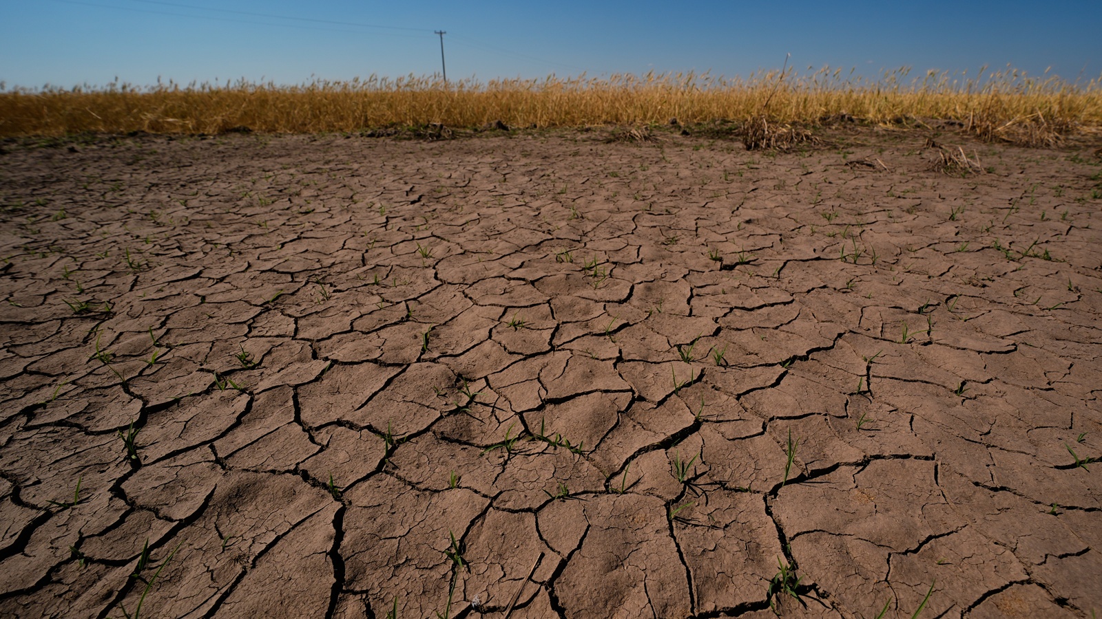
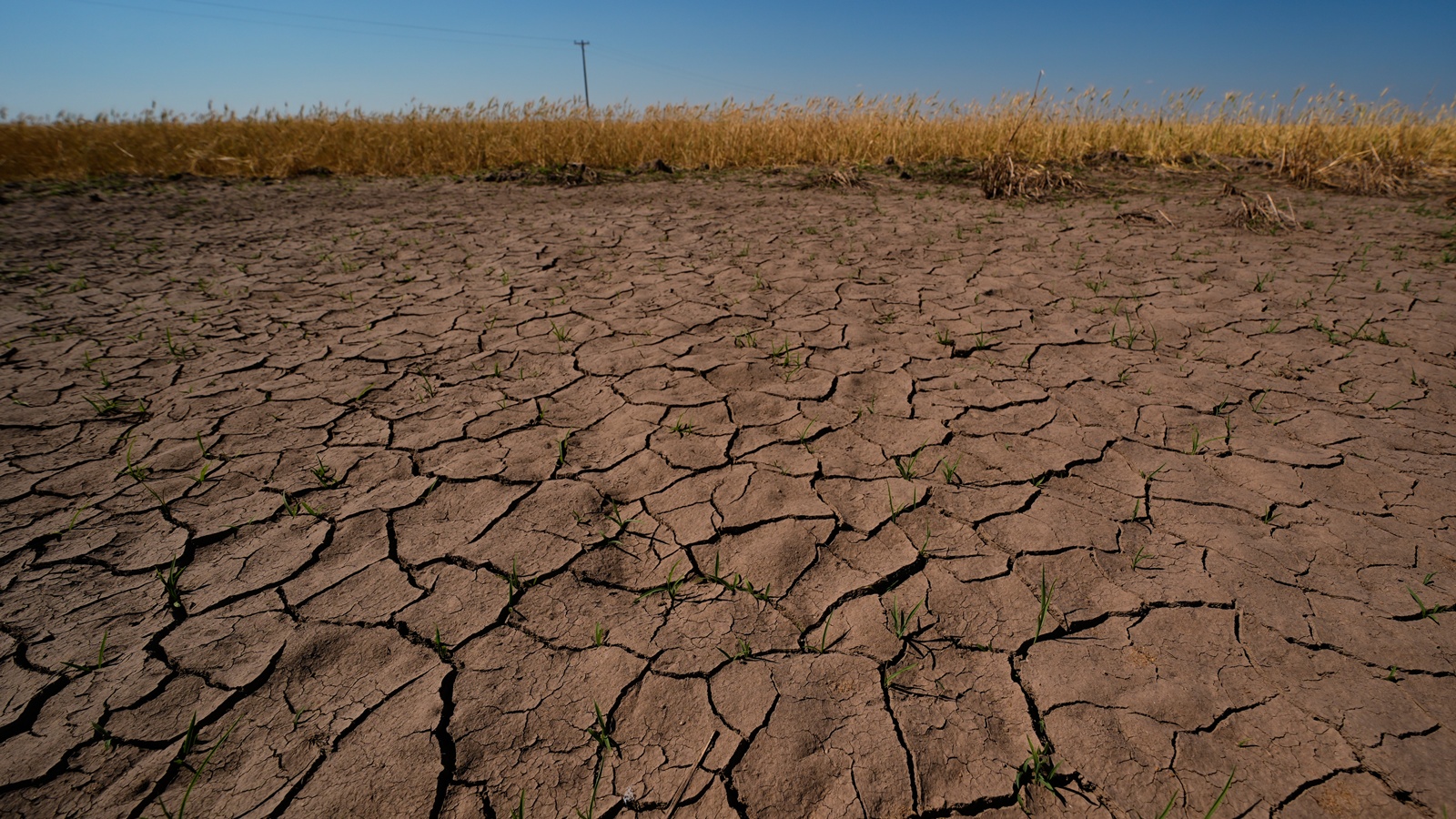
Parts of northern South America and Australia could face a greater risk of drought and wildfires, while Peru, Ecuador and the southern United States could see increased flood risks.
The disruption can also have economic consequences. Previous El Niño events have affected crops including coffee, rice and cocoa, pushing up food prices and causing losses across global supply chains. The UN’s Food and Agriculture Organisation has warned that the current event could expose tens of millions of people in vulnerable countries to severe food insecurity.
In the tropical Atlantic, however, El Niño can have the opposite effect, suppressing hurricane activity. There have been only three named storms so far this season.
Why could 2027 be the hottest year?
El Niño could give global temperatures an additional boost at a time when the planet is already significantly warmer because of greenhouse gas emissions.
Story continues below this ad
Global temperatures have risen by around 1.4°C since the late 19th century due largely to human activities. During a strong El Niño, additional heat is transferred from the Pacific Ocean into the atmosphere.
The effect is often strongest in the calendar year following El Niño’s winter peak. That is why Met Office climate scientist Nick Dunstone says 2027 is “very likely” to overtake 2024 as the hottest year on record.
Scientists stress that there is no clear evidence that climate change itself is making El Niño events more frequent or stronger. However, a warmer world can make the consequences of an unusually strong El Niño more severe.
