


Before and after Nepal flash flood: Satellite images show scale of destruction

2 min readUpdated: Aug 27, 2026 09:50 AM IST
A massive flood in Nepal on Wednesday washed away villages in the northern part of the country, leaving at least 160 people dead and a trail of destruction. Hundreds are still missing in Nepal and Tibet as flash floods in the Bhote Koshi River, originating from Tibet, engulfed many areas in Rasuwa, Nuwakot, and Dhading districts.
Reports from the affected areas and the National Disaster Risk Reduction and Management Authority said the swollen river swept many settlements across the 60-km road from Xylong in Tibet, China, down to Rasuwa, Nuwakot (Trishuli), and Dhading. The river joins the Trishuli River in Rasuwa.
The flood severely affected Timure and Syapru Besi in Rasuwa district, with villages, market areas and infrastructure projects damaged or washed away. Authorities have warned residents along the Bhote Koshi and Trishuli rivers to move to safer ground as floodwaters move downstream.
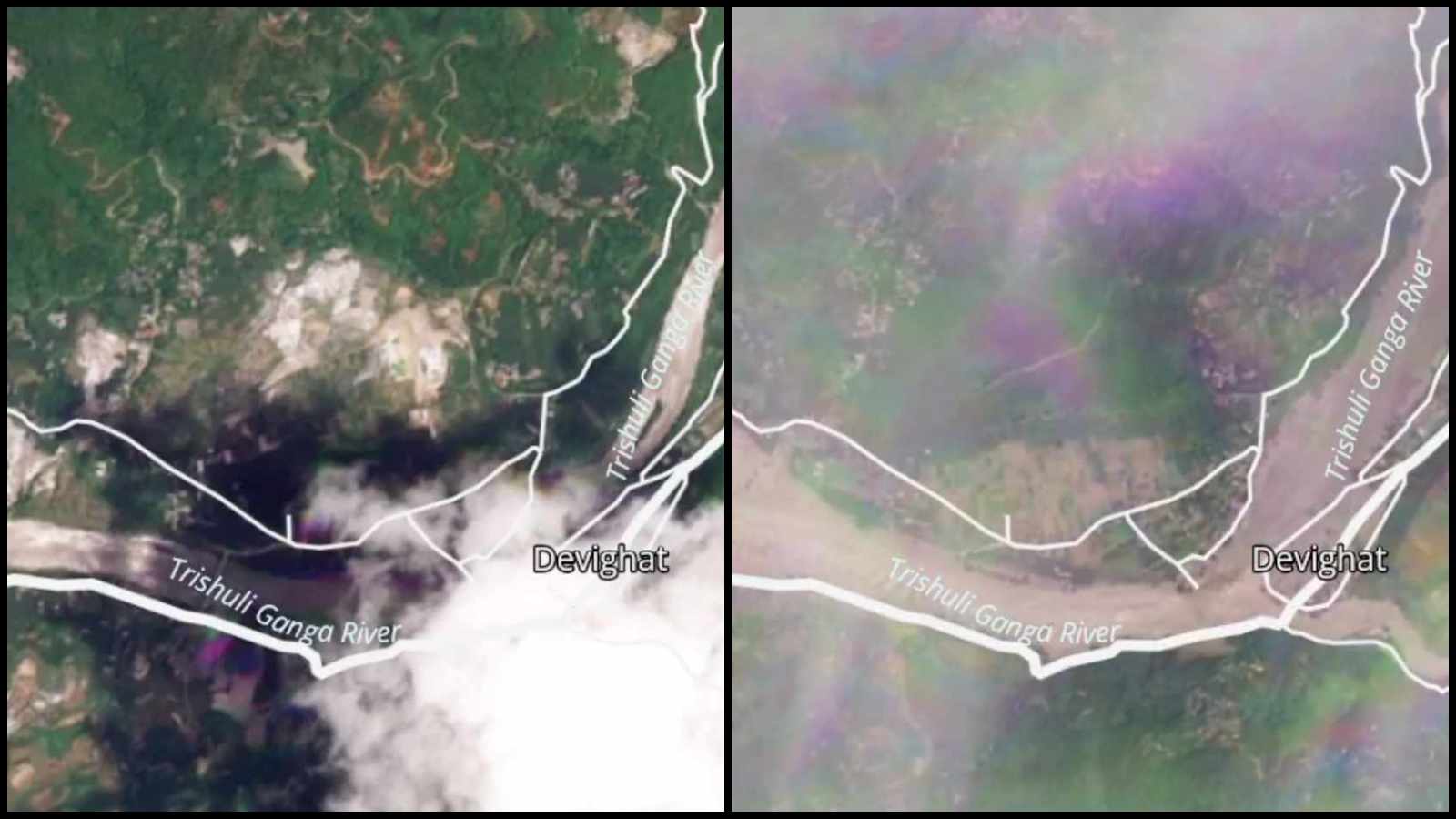
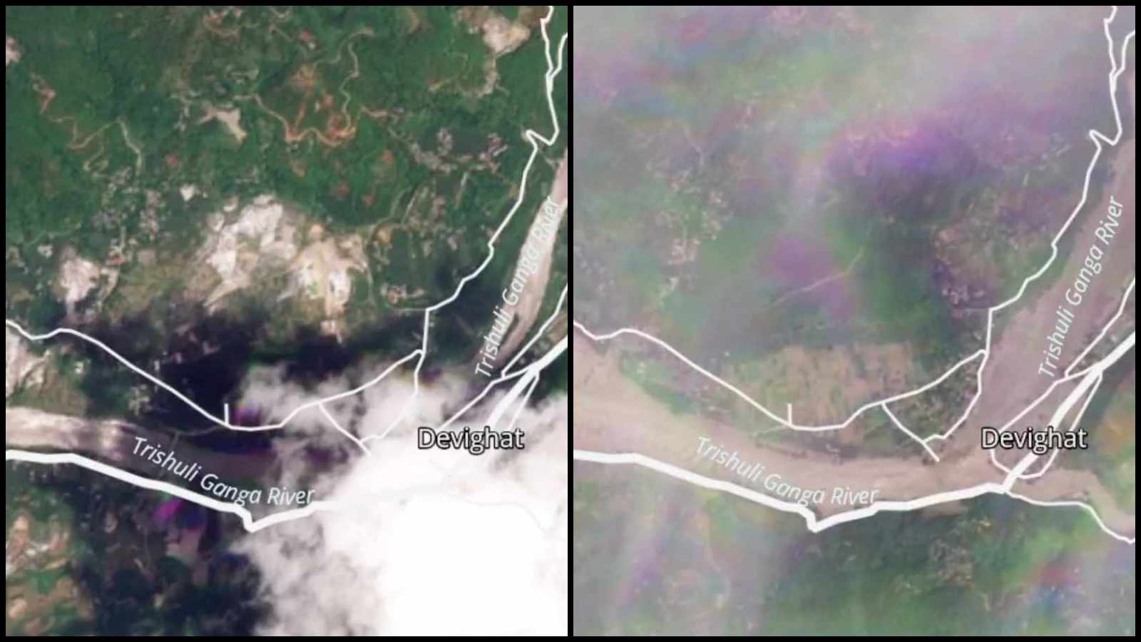
Nepal’s National Disaster Risk Reduction and Management Authority (NNDRMA) has now sourced satellite images of before and after the floods from PlanetLab and shared them on their X handle, showing the extent of devastation.
Planet Labs को स्याटेलाइट तस्बिरको विश्लेषणका आधारमा गरिएको प्रारम्भिक अध्ययनबाट नेपाल-चीन रसुवागढी नाकाबाट करिब २० किलोमिटर उत्तरपूर्व नेपाल-चीन सिमानामा गएको हिम-चट्टान पहिरोका कारण ल्हेन्दे खोलामा गेग्य्रानसहितको बाढी आएको देखिएको छ। pic.twitter.com/kCAo9O1Zb0
— NDRRMA (@NDRRMA_Nepal) August 26, 2026
NNDRMA stated that the images from PlanetLab were obtained with the support of the Stimson Center.
The images were from Devighat area, Betrawati area, Hakubesi area, and Syaphrubesi area.
Stay updated with the latest – Click here to follow us on Instagram
