

World map is misleading about Africa.The UN wants to fix it

3 min readSep 5, 2026 01:00 PM IST
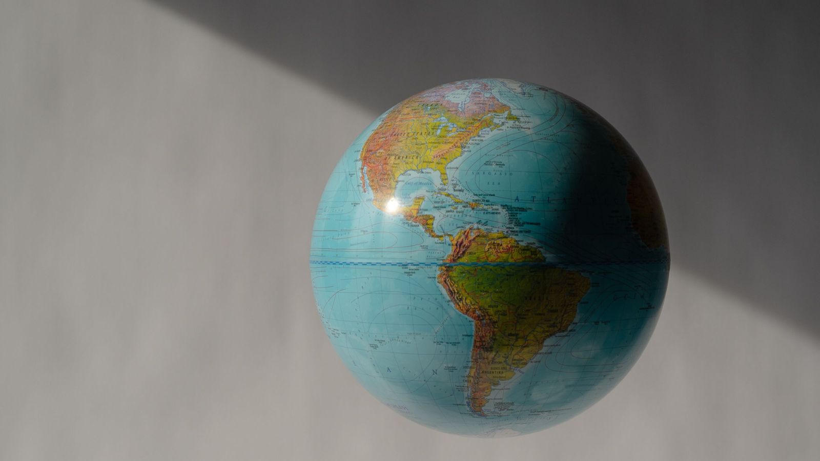
The United Nations General Assembly has voted in favour of a resolution calling for a correction in world maps that do not accurately represent the size of Africa, challenging the centuries-old Mercator projection that has long dominated classrooms, institutions and navigation.
The resolution, titled “Correct the Map”, was sponsored by Togo and backed by members of the African Union. It received the support of 164 countries, including France and the United Kingdom. The United States was the only country to vote against it, while six countries abstained, BBC reported.
The UN resolution is non-binding, but supporters say it could encourage institutions around the world to move away from the Mercator projection and adopt maps based on more accurate representations of the relative size of continents.
Why is the Mercator map controversial?
The Mercator projection, created by Flemish cartographer Gerardus Mercator in 1569, was designed primarily to help European sailors navigate. While useful for navigation, it significantly distorts the relative size of landmasses.
On the map, Africa can appear comparable in size to Greenland. In reality, Africa is about 14 times larger.
The distortion occurs because it is impossible to represent the curved surface of the Earth perfectly on a two-dimensional map. Different map projections therefore involve different compromises. In the Mercator projection, areas closer to the equator appear smaller than they actually are, while regions closer to the poles appear disproportionately larger.
Critics argue that by making Africa and other equatorial regions appear smaller, they say, the map can influence how people perceive their geographical, economic and political importance.
Story continues below this ad
The push for a new map
An alternative emerged in 2018, when a team of cartographers developed the Equal Earth projection, an equal-area map designed to preserve the relative size of continents more accurately.
In February, the African Union’s 54 member states adopted the Equal Earth projection, saying it provides a more accurate representation of the size of all continents, particularly Africa.
The campaign group #CorrectTheMap has also pushed for the wider adoption of equal-area maps. It points out that the United States, China, India, Japan, Mexico and much of Europe could fit within Africa, with land to spare.
Ahead of the UN vote, Togolese Foreign Minister Robert Dussey said: “A fair world begins with a fair map.”
Story continues below this ad
Dussey has argued that maps are not neutral representations, saying they shape perceptions and influence how people understand the place of different regions and continents in the world.
Why does it matter?
Supporters of the campaign say the issue goes beyond geography. Lerato Mogoatlhe of Africa No Filter, one of the groups campaigning against the widespread use of the Mercator projection, described Africa’s distorted representation as a “narrative issue”.
Kenyan geographer Kioko Muendo similarly said maps influence how regions are perceived politically and economically, arguing that the Mercator projection has implicitly diminished perceptions of Africa’s vast resources, population and investment potential.
France has backed the campaign. French Foreign Minister Jean-Noël Barrot said his ministry would stop using the Mercator projection, arguing that correcting a distorted representation was an “act of truth”, even though changing a map would not change the world itself.
Stay updated with the latest – Click here to follow us on Instagram
